Earthwatch has teamed up with NASA to produce maps of vegetation and ground temperature using a repurposed spy plane collect highly specialized data. Paolo Perrone of Trust for Public Land (TPL) joined us. He'd contacted us to help collect field data that would be analyzed to field check the project. TPL currently holds the option to purchase the Red Car Property as a park.
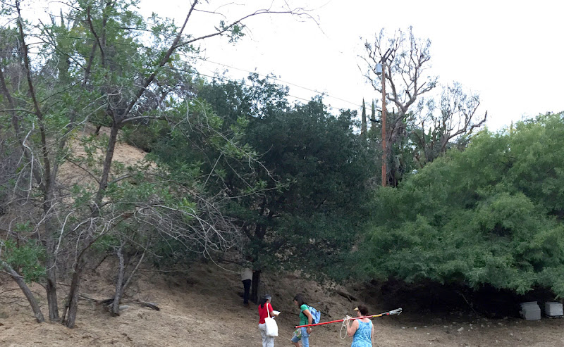
Photo: Diane Edwardson, August 21, 2015. As with all things Red Car Property, it's never as easy as it sounds. Many of the trees are in the steep slopes - in these photos - that go all the way up to the power lines.
We sampled a variety of trees from a defined area, identifying species, GPS coordinates, trunk diameter (half the circumference), tree condition, and took leaf samples. The leaves were sent to a lab where they'll be analyzed for size, weight and nitrogen content. Our data will be linked with the NASA data. Unfortunately, we won't have the results for several months.
Stephanie Bartron, neighbor, garden designer and co-author of The Drought Tolerant Garden, LA County Handbook, made sure we practiced safe horticulture by wiping the clippers with rubbing alcohol between trees so as not to potentially spread pests, disease or fungus between trees.
"The Trust for Public Land is excited to work with local community members on the Earthwatch tree survey, making the Red Car Property a site for scientific research and discovery," said Perrrone, TPL project manager. "With the data collected this past Friday, NASA and Earthwatch will be able to ground-truth a tool that has global implications. From carbon sequestration to surface cooling, this data will help future decision makers incorporate trees into their urban climate change strategies. "


